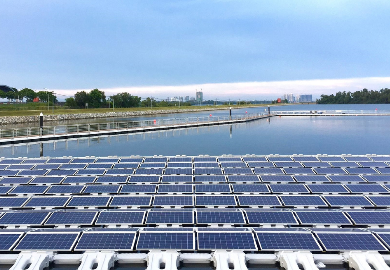
As per the data obtained from the geostationary observation satellites within and beyond India, the Indian space agency can recommend the best location for a solar power plant. They have proved the technology’s ability to locate the finest sites for solar power facilities. As per the Chairman of the Indian Space Research Organisation (ISRO) and the Secretary of the Department of Space, they may get inquiries as a result of the Prime Minister’s announcement that India can give the technology to other nations.

ISRO personnel will analyze the data supplied by the satellites, as per the ISRO Chairman. At the request of the Ministry of New and Renewable Energy, ISRO’s Space Applications Centre (SAC) in Ahmedabad created an android application for calculating solar energy potential. The instrument may be used to install photovoltaic solar panels so that solar energy can be harnessed. But also want to mention today that our space organization, ISRO, is going to deliver a solar calculator application to the globe, PM mentioned at the COP26 session. The solar power potential of every location on the planet may be calculated using satellite data with this calculator.
This tool will be valuable in choosing where solar projects should be built, as well as bolstering the concept of “One Sun, One World, One Grid.” The tool calculates solar potential (in kWh/m2) and lowest and maximum temperatures for any place monthly and annually. It also shows the location on the satellite picture and azimuth/elevation angles and day duration for various periods throughout the year. As per ISRO, the relevant location may be entered in or acquired via GPS. In the picture, the location is shown with satellite data in the backdrop. It provides monthly and annual solar potentials based on data from Indian Geostationary Satellites (Kalpana-1, INSAT-3D, and INSAT-3DR).
It also includes monthly minimum and maximum temperatures, which may be used to determine a realistic solar potential. The Digital Elevation Model is also used to calculate sunlight obstruction due to topography (DEM). The software also recommends the best tilt angle for solar PV installation. The application may be downloaded at vedas.sac.gov.in’s “New and Renewable Energy” section. Modi had previously promised a satellite for South Asian areas, which was eventually released by ISRO in 2017 as GSAT-9/South Asia Spacecraft (formerly SAARC Satellite), a communication/meteorology satellite.
In the meantime, when asked about the next satellite launches, the ISRO Chairman stated that nothing has been finalized and that the agency is working on it. The revamped foreign direct investment policy, as per the ISRO Chairman, is in the works.


Read/Add Comments